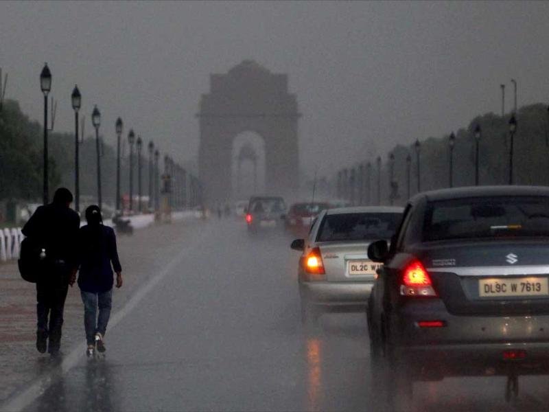
New Delhi: A slight delay is expected in the onset of the southwest monsoon over Kerala and it is likely to arrive by June 4, the India Meteorological Department (IMD) said on Tuesday.
Scientists, however, said the delay is unlikely to impact Kharif sowing and total rainfall over the country.
The southwest monsoon normally sets in over Kerala on June 1, with a standard deviation of about 7 days.
“This year, the southwest monsoon onset over Kerala is likely to be slightly delayed. The monsoon onset over Kerala is likely to be on June 4 with a model error of 4 days,” the Met office said in a statement.
Private forecasting agency Skymet Weather, however, said the monsoon is likely to reach Kerala on June 7 with an error margin of three days.
“The onset will be delayed and the advancement slightly sluggish over peninsular India.
Hot weather will continue deep into June this year over central and northern parts of the country. This may not augur well for Kharif sowing,” it said in a statement.

The monsoon arrived in the southern state on May 29 last year, June 3 in 2021, June 1 in 2020, June 8 in 2019, and May 29 in 2018.
The IMD said its forecasts for the monsoon onset over Kerala have proved to be correct during the last 18 years except in 2015.
The predicted monsoon onset is within the standard deviation of 7 days. It is unlikely to impact Kharif sowing and overall rainfall over the country, IMD chief M Mohapatra said.

“There is no one-to-one relationship between the onset date and the total rainfall over the country during the season. Also, the monsoon arriving early or late in Kerala doesn’t mean it will cover other parts of the country accordingly. The monsoon is characterised by largescale variabilities and global, regional, and local features,” he said.
M Rajeevan, former secretary of the Union Ministry of Earth Sciences, said it is unlikely that the delay is due to Cyclone Mocha. “Had the cyclone developed around May 20-May 25, it would have affected the monsoon. The cyclone (Mocha) is already over.”
“It could be due to insufficient heating over the Indian subcontinent. The progress of the monsoon also depends on other factors such as the phases of Madden-Julian Oscillation and how the El Nino is evolving,” Rajeevan added.

The Indian monsoon is driven by the temperature and pressure difference between the Indian landmass and the Indian Ocean.
During summer months, the landmass heats up, creating a low-pressure zone that draws in moist air from the ocean, resulting in rainfall.
Large parts of the country, barring the eastern and northeastern parts, experienced a prolonged wet spell between April 21 and May 7 owing to several back-to-back weather systems.
As a result, most parts of the country experienced significantly lower-than-normal day temperatures during the period.
Roxy Mathew Koll, the climate scientist at the Pune-based Indian Institute of Tropical Meteorology, said a coastal El Nino has already developed in the eastern Pacific.

“It should develop into a mature state by June-July. This can potentially impact the onset, progression, and overall distribution of monsoon rainfall. The onset can be weak or delayed, and the IMD onset forecast aligns with this,” he said.
“If the monsoon onset is delayed and the ocean conditions are warm, there could be the potential of cyclone formation close to the onset. That can change the course of the monsoon. This happened with cyclones Nisarga and Tauktae. However, forecasts don’t indicate a cyclone yet. We’ll need to wait and see,” he said.

Private forecasting agency Skymet Weather said a powerful cyclone ‘FABIEN’ is moving over the south Indian Ocean in the equatorial latitudes, abeam southern peninsula.
“The hurricane-strength weather system will take nearly one week to clear the area. This monster storm is restricting the cross-equatorial flow and the build-up of the monsoon stream,” it said.
Also, the Arabian Sea continues to host an anticyclone over the central parts in the lower levels of the atmosphere. This acts as a deterrent for the smooth streaming of monsoon flow from the Arabian Sea to the west coast.

“Other pertinent features are also not likely to get aligned with the desired wind pattern over the next 10 days or more. There are no visible signs of establishing typical low-level jets of westerly winds, considered essential for the onset of monsoon,” it said.
The IMD had last month said India is expected to get normal rainfall during the southwest monsoon season despite the evolving El Nino conditions.
PTI
