New Delhi: An interaction of a Western Disturbance and monsoonal winds led to an intense rainfall spell over northwest India, including Delhi, the India Meteorological Department said on Saturday.
Delhi experienced the season’s first heavy rain with the Safdarjung Observatory, the city’s primary weather station, recording 98.7 mm of rainfall between 8:30 am and 2:30 pm.
During the same period, the weather stations at Ridge, Lodhi Road, and Pitampura recorded 111.4mm, 92 mm, and 81.5 mm of precipitation, respectively.

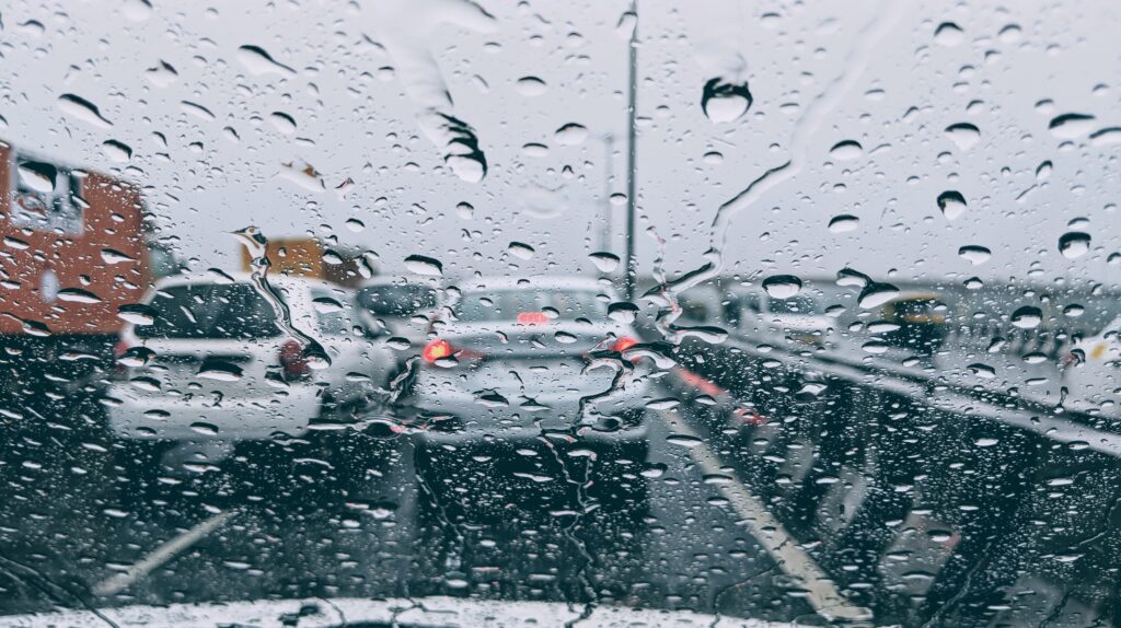
The heavy rain resulted in familiar scenes of waterlogged roads and long lines of vehicles stuck in the deluge. Strong winds and showers also caused disruptions in power and internet connectivity in some areas.
The IMD said that the Western Disturbance prevailed over northern India, while the monsoon trough extended to the south of its normal position, reaching lower tropospheric levels. Additionally, a cyclonic circulation was embedded over southwest Rajasthan.
This interaction between the Western Disturbance and monsoonal winds is expected to persist for the next 24-36 hours, leading to moderate rainfall in most parts of northwest India, according to an IMD update.
Over the span of six hours ending at 2:30 pm, this weather system brought 5 cm to 9 cm of rainfall to Delhi, Sonipat, and Baghpat, according to the Meteorological Office.

The IMD issued a warning of isolated extremely heavy rain in Himachal Pradesh and Uttarakhand throughout Saturday and Sunday.
Heavy to very heavy rain is predicted in isolated areas of Jammu and Kashmir until Monday, and in eastern Rajasthan, Haryana, Chandigarh, Delhi, and Punjab until Sunday.
The IMD said heavy rainfall is unlikely in the region starting from July 11.
According to the Met office, rainfall below 15 mm is considered light, 15 mm to 64.5 mm is moderate, 64.5 mm to 115.5 mm is heavy, and 115.6 mm to 204.4 mm is very heavy. Any amount exceeding 204.4 mm is classified as extremely heavy rainfall.
PTI
